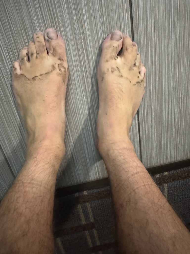
It was still raining when I got up and, not surprisingly, none of my clothes from the day before were dry. I shoveled down a few packets of oatmeal (and two dry tortillas) before changing into already wet clothes. Once my wet shirt was on, there was no other option but to leave. It was too cold not to.
So I stepped out of the shelter and immediately took my freedom step. (This is a term I learned today. A freedom step is the first step of the day that soaks your feet. Because after that step you’re free to step wherever you want. There’s no way of keeping dry toes after that). I stepped into the lake that had formed in front of shelter and soaked every part of my leg.
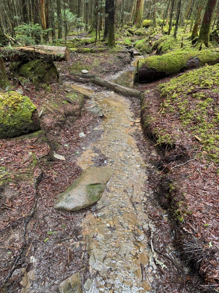
I looked out at the trail and saw only a river running down towards me. Duck Tails was bent over filling his reservoir with water from the trail to filter. And why not? It was flowing fast and looked clean.
The first 4 or 5 miles were a gradual up hill. And, since the rain had turned into a fine mist, it was super pleasant. I didn’t care about stepping in puddles or splashing myself. I was already wet and just leaning into it.
The rain poured down the trail, creating rivers in spots and flowing well over ankle heights in others. There was no longer the option of a dry step, it was just about how wet each step would be.
When I did make it to the top, I realized that I was at Kuwohi (formerly known as Clingman’s Dome), the highest point on the whole AT. I felt a bit of excitement building. When I looked at the app, I saw that this was also mile marker 200. It felt like a big moment. I took a second to celebrate, but only a second. Because it was still cold and raining all around me.
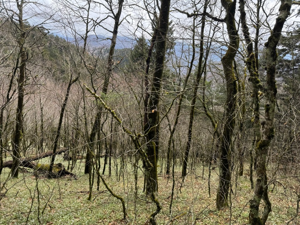
I pushed on the remaining 8 miles. The sun came in and out and the rain started and stalled the whole time. But there were no steep climbs and the whole forest had turned into a pine- filled wonderland – so I didn’t have a care in the world. It was beautiful and almost felt right that it was foggy and wet walking through.
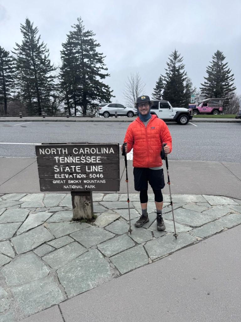
I came out the other side to see the official North Carolina, Tennessee Border sign. Technically the trail has been crossing in and out of both states and will continue to for the next bit, but this is the viewed as the unofficial line. So I took a photo there and celebrated again.
I took a free shuttle into town from one of the local churches (after dodging a guy who tirelessly tried to convince me to pay him $30 for the same ride). Cosmo, duck tales, overshoot, McKay and I checked into the same hotel and stuffed ourselves on burgers and an unlimited salad bar.
This food coma should lead nicely into a good nights sleep
Key stats:
Miles: 12
Elevation gained: 3,000 ft
Total miles walked: 200+


Leave a comment